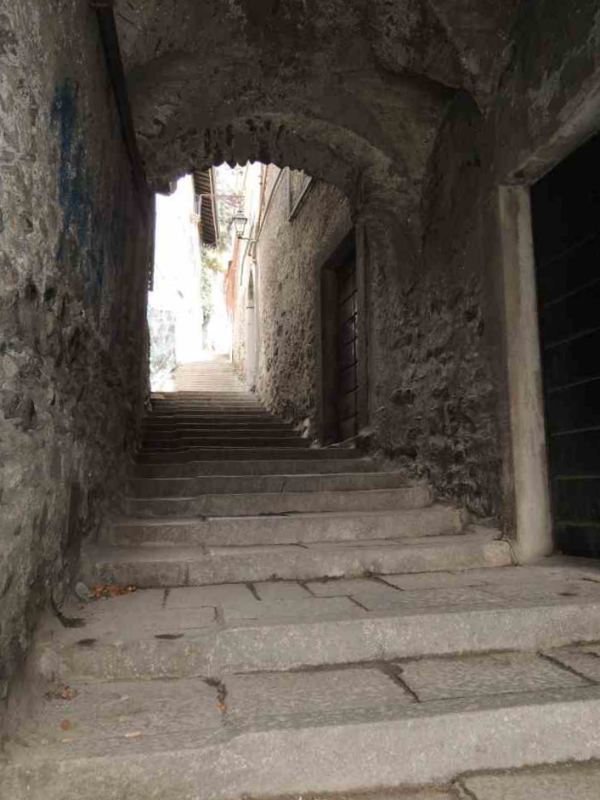
 Sondrio, Ligari ascent, initial stretch of the Cavallera road.
The central geographic location of this road and the relative ease of use meant it was particularly well-travelled during the Middle Ages.
It is interesting to see how the ancient mediaeval road must have followed a pre-existing road probably of Roman origin almost entirely.
The Muretto pass road is not actually mentioned in the two main road maps of the 3rd and 4th centuries AD, which were the
Tabula Peuntigeriana and the
Itinerarium Antonini.
This road, like that of Aprica, San Marco, Bernina or Forcola di Livigno, was not an official road of the Roman Empire. However, we can say with certainty that it was not completely unknown to the troups of the Empire.
Some archeological finds
dating back to the Roman period were discovered on the 'Cavallera' road which led to the Muretto pass and on to Engadine and the Val Bregaglia.
This group of finds consisted of a silver needle, a sword hilt, an iron chain, two terracotta oil lamps, and bronze and silver coins, and suggests that the Valmalenco was used as an area for passing troups, along which a few military garrisons were based, which probably served as places for men and their horses to stay.
Finds such as these lead us to believe that although the Muretto pass was a secondary road, it had also been included in the border defence and plans and road systems of the Empire.
The fundamental problem for the administration of Roman Rhaetia was without doubt that of keeping the danger at bay of imminent invasions by the Alemannic populations, who had become increasingly menacing and concrete as the centuries went by.
The possibility of choosing the safest of all the routes or at least the one less likely to be attacked by the enemy to reach a particular place made control of the Alpine passes one of the most popular, political strategies.
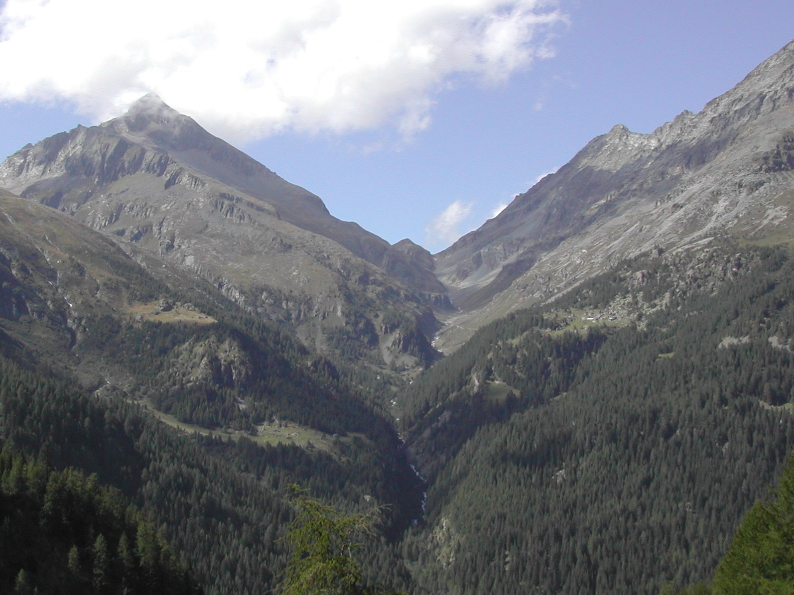 The valley and the Muretto pass seen from the Ventina Alp.
However, the Carolingian-Ottonian era saw the Alpine passes become of European importance as centres of commercial and military links of the regions and peoples to the north and south of the Alpine divide.
Particularly after the gift Charlemagne made of the Valtellina to the Parisian monastery of Saint Dionysius in 775.
This had first and foremost a political and economic significance, followed by a religious message: in fact, under the protection of this powerful monastery, trade and fairs were organised and places to stay were built along the alpine roads and passes: these were buildings for merchants and their horses to stay and rest and for the increasing numbers of pilgrims towards the end of the first millennium, who roamed the roads and crossed the passes to reach the most sought after sacred destinations.
Among these were not only Rome and Jerusalem, but also towards the end of the millennium the tomb of the Apostle James the Great in Compostela.
As regards the latter pilgrimage in particular, numerous churches were dedicated to St. James and were often linked with hospices and xenodochia near the very busy Alpine roads and passes in our province too: to mention but a few, we should include the church of San Giacomo in Fraele on the pass of the same name, the church of San Giacomo in Ravoledo di Grosio, placed at the entrance to the Val Grosina which continued into Switzerland, the church of San Giacomo in Stazzona on the access road to Aprica and, last but not least, the first, ancient church of the Valmalenco.
Already mentioned in 1190 and built in the oldest village of the valley, it stood on the road which was also dedicated to St. James, as the most evident testimony of the presence of a road travelled since ancient Mediaeval times.